


Daily stages, distances and accommodations.
Camino de Levante 2011
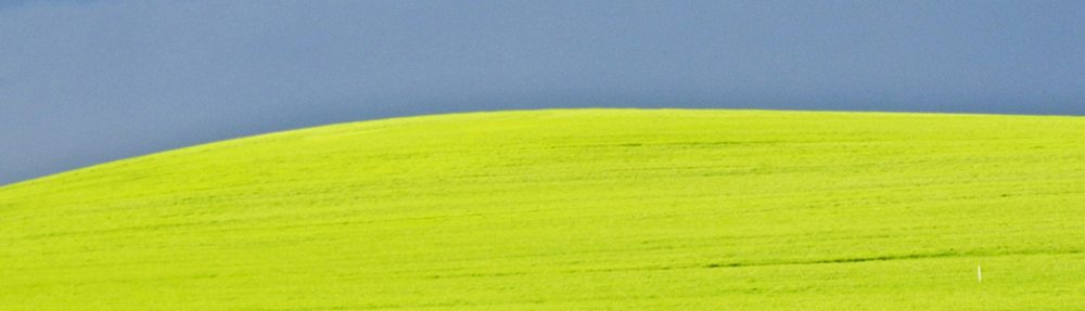
The route begins in Valencia and runs diagonally through Spain over the central plateau ”La meseta” in the region of La Mancha. From Valencia it climbs up to 1.020 m above sea level, leads through the village Higueruela and then down to the town Albacete. From there the route is rather flat to Toledo with few trees, large fields and large vineyards. After Toledo, the landscape is a bit hillier and the route rises to 1.000 m level in San Bartolome de Pinares. Shortly thereafter, up to the highest point at 1.400 m and down to the beautiful city of Ávila at 1.130 m above sea level. The Camino de Levante ends in Zamora.
After Camino de Levante it is possible to continue on Via de la Plata, via Ourense or Astorga to Santiago de Compostela. I have not found any information on how many people who walks the Camino de Levante, but there are few. When I was there it was dry and hot. I started in Albacete and walked totally 762 kilometres to Santiago de Compostela.
Purchase my photo book ”The Inner Journey” and read more from my diary, – Hardcover (so far with Swedish text).
2025-03-16